Payment & Security
お支払い情報は安全に処理されます。クレジットカードの詳細を保存したり、クレジットカード情報にアクセスしたりすることはありません。
Don’t Miss These Deals!


説明
The Map of Australia Poster, brought to you by Learning Can Be Fun and Australia Geographic, offers a comprehensive and easy-to-read representation of Australia. The poster displays all state borders, capital cities, major towns, and airports. It also highlights surrounding seas, oceans, reefs, lakes, and major rivers, using various shades of blue to denote the depth of water.
The state flags are displayed along the right-hand side of the map, while the Australian flag is shown at the bottom left-hand side. This provides a vivid, easy-to-remember overview of the country's geography.
The reverse side of the poster features an interactive component to test your knowledge of Australia. It encourages users to match landmarks with their geographical positions on the map.
This educational chart is laminated, offering a 'wipe-clean' surface. It is compatible with a non-permanent marker, allowing repeated use and interaction, ideal for classroom learning, homeschooling, or simply for an educational decoration at home.
Product Specifications
- A visually engaging way for children to connect with Australia's geography and regions.
- Makes learning about states, cities, and landscapes more memorable and enjoyable.
- Encourages curiosity and national pride through colorful, educational wall decor.


簡単な返品
無料の365日保証

通貨で買い物をして支払います
現在、40か国以上に出荷しています

100,000以上の製品
素晴らしいブランド。すべてのギフトの機会。
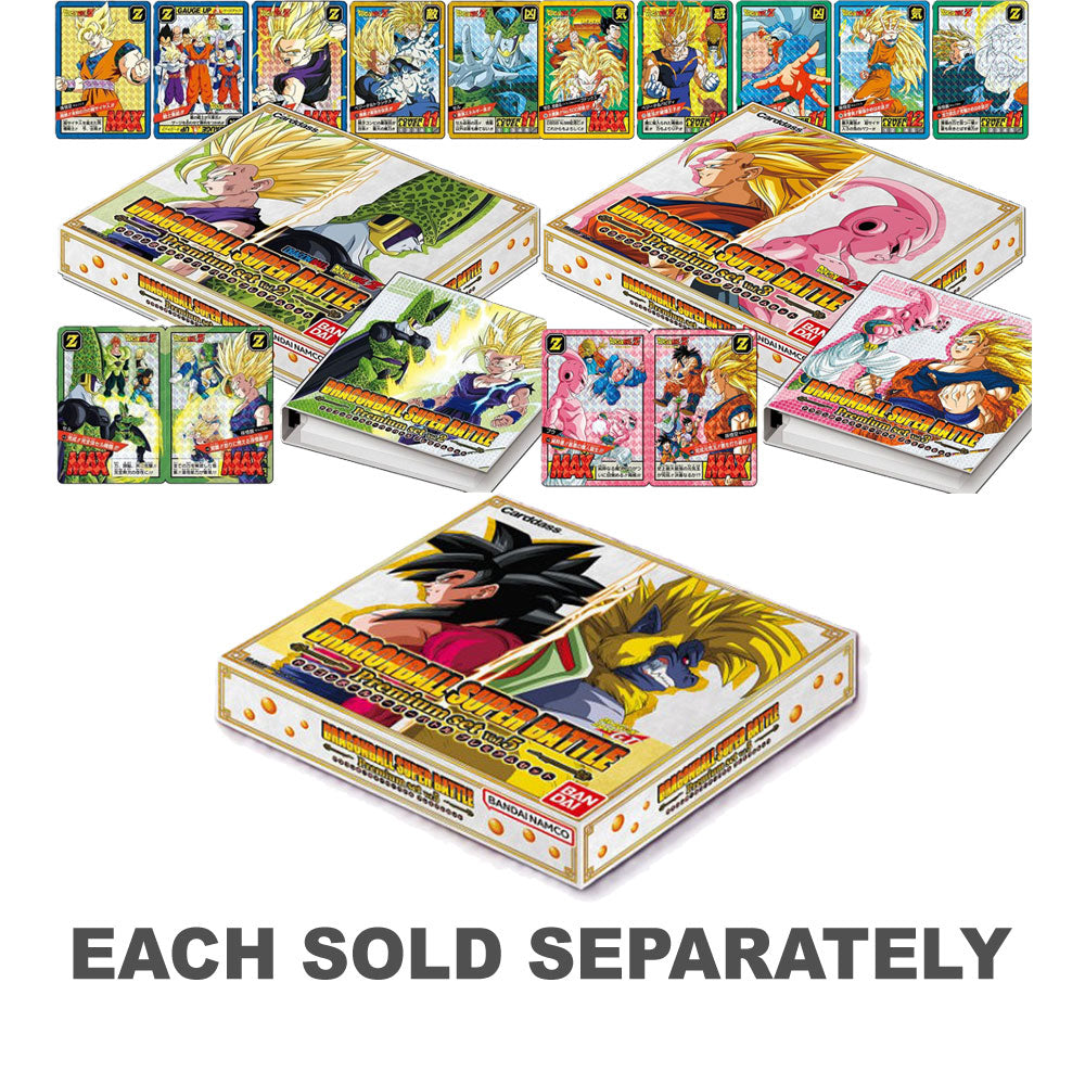
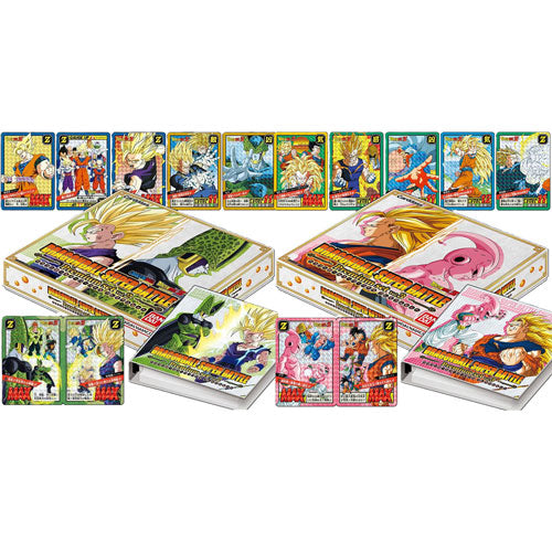
関連製品
Top Selling Items


Trending Products